 Wreckfinder
Every UK wreck. Exact GPS. Straight to your plotter.
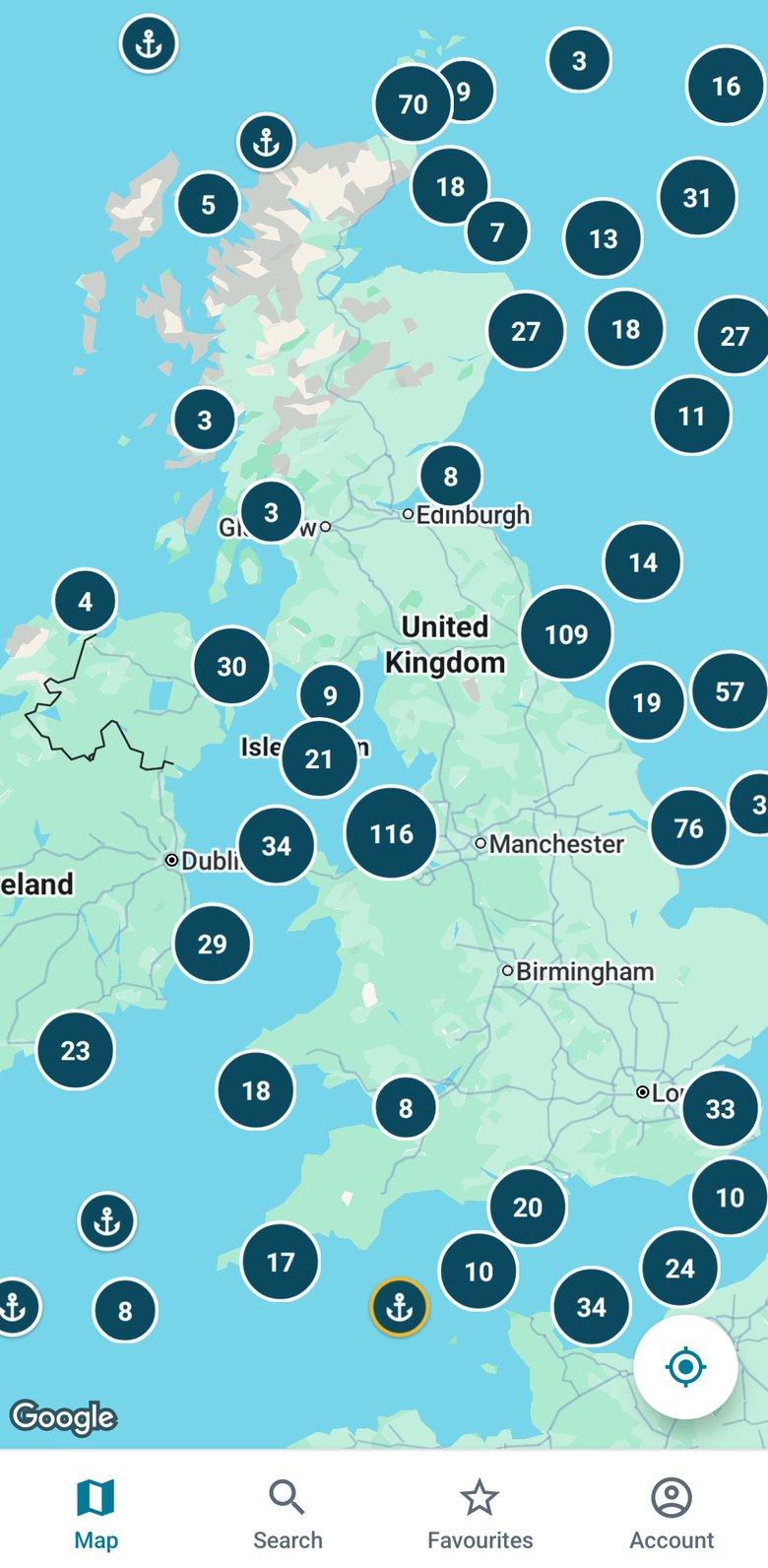
Wreckfinder maps more than 20,000 shipwrecks around the UK and Ireland, so you always have a new mark to fish or dive.


Built for a boat, not a sofa
Big text, big buttons and high contrast, so it's easy to read in bright sun with wet hands.
20,000+ wrecks
Steamships, sailing vessels, wartime losses and unnamed wrecks around the UK, Ireland and the Channel Islands.
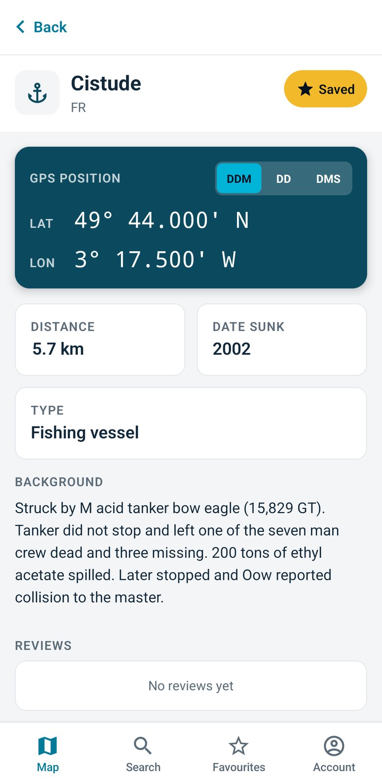
Exact GPS coordinates
In degrees and decimal minutes, decimal degrees, or degrees, minutes and seconds. Copy them into your chartplotter or fishfinder.
Depth, distance and history
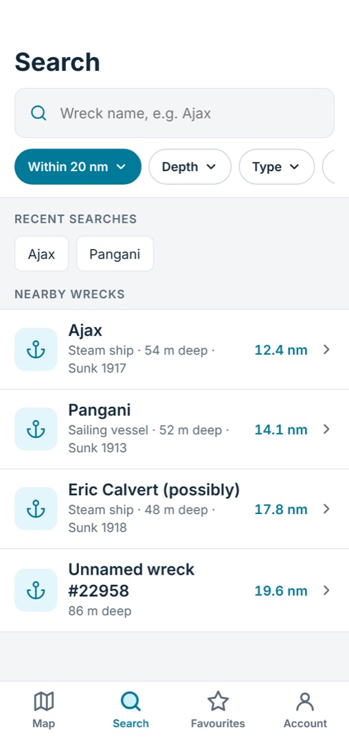
See how deep each wreck lies, how far it is from you, when it sank and what it was.
Find it, check it, go
Who uses Wreckfinder
Boat anglers
Wrecks hold fish. Find fresh marks for pollack, cod, conger and bass without spending hours searching the sounder.
Divers
Plan dives with depth and history in hand, and check what's on the seabed before you kit up.
Charter skippers
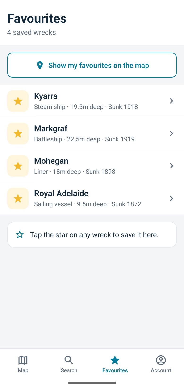
Give your customers more variety, and keep your best marks saved and ready on your phone.
Simple pricing
Browse the map for free. Go Premium when you want the exact positions.
See where the wrecks are.
- Map of 20,000+ wrecks
- Wreck names
- Search by name
or £19.99 a year (save 58%)
- Exact GPS coordinates (DDM, DD, DMS)
- Distance from your position
- Depth, date sunk and wreck history
- Saved favourites
As featured in

Questions
Where does the wreck data come from?
Wreckfinder is built on official UK wreck records, covering more than 20,000 sites including the Channel Islands.
Can I put the positions into my chartplotter?
Yes. Positions are shown in degrees and decimal minutes by default, which most chartplotters and fishfinders use. You can switch to decimal degrees or degrees, minutes and seconds.
I subscribed on the old website. Do I need to pay again?
No. Sign in to the app with the same email address and your subscription carries across.
Your next mark is out there
Download Wreckfinder free and start exploring.