 Wreckfinder
UK shipwreck GPS coordinates
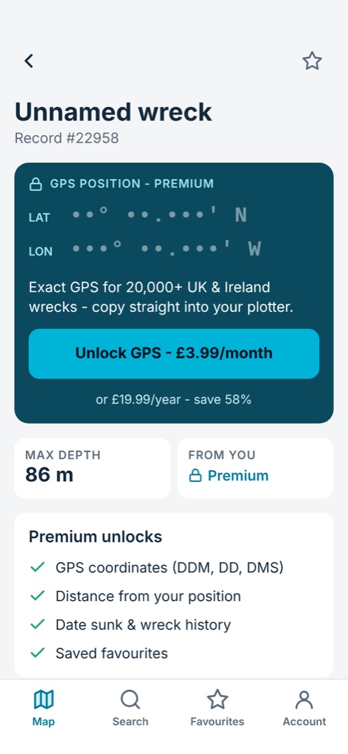
Never be short of a fishing mark. Get instant access to more than 20,000 wrecks around the UK and Ireland, with exact positions ready for your chartplotter.


Free to download. Premium from £3.99 a month.
Why fish and dive wrecks?
Wrecks are artificial reefs. They give shelter to baitfish, which brings in pollack, cod, ling, conger, bass and more. For divers they're time capsules, from Victorian steamships to wartime losses.
What you get with Wreckfinder
- More than 20,000 wreck sites around the UK, Ireland and the Channel Islands.
- Exact latitude and longitude in degrees and decimal minutes (the format most chartplotters use), decimal degrees, or degrees, minutes and seconds.
- Depth and distance, so you can plan your day before you leave the harbour.
- Wreck details such as vessel type and the year it sank, where records exist.
- Favourites to keep your best marks in one list.
How to use a wreck position
Open a wreck in the app and tap Copy. Enter the position into your chartplotter as a waypoint, or tap Navigate to open it in your maps app. Always check the position against your charts and local conditions before you go.